Your Cart is Empty
accepting gear drop offs Mon-Sat 10am-5pm. No Consignment acceptance on Sundays.
accepting gear drop offs Mon-Sat 10am-5pm. No Consignment acceptance on Sundays.

For many hikers, summiting one of Colorado’s 14,000-foot peaks is a lifetime achievement. Others make it their entire personality, working for years and even decades to climb all of them. Some make a goal of climbing them all in a single season while others try to ski them all.
The problem with climbing 14ers for many people is that they are difficult–and we’re not just talking about the thin air. Of the 58 in Colorado, about one-third entrail considerable exposure and require skilled route-finding and ascent/descent skills. About half have either moderate or considerable challenges. Just eight are considered “easy.”
Hikers looking to summit a 14er near Durango will find four that rank generally as easy or the easy end of moderate. They are all in the same two canyons and can be climbed by someone with decent fitness,good shoes, and a penchant for waking up early. The roads to access all these peaks are part of the Alpine Loop and can be driven from Silverton in a four-wheel drive such as a Tacoma, but are generally not in all-wheel drives like Subarus.
Ready? Here goes!
Three of the four peaks are in the same canyon. Most climbers will get here by driving about three hours from Durango to Lake City. From Lake City, follow County Road 30 to County Road 12, and follow it to the trailheads listed here. CR 30 starts off as an easy two-wheel drive road but becomes progressively more interesting; most high-clearance all-wheel drive vehicles, driven with care, should make it all the way to the trailhead–you will see plenty of RAV 4s and Foresters in the parking lot.
From the trailhead, head south into American Basin, then head east on a well-trod trail to Sloan Lake. Past the lake, the trail switchbacks up the south shoulder of Handies to the summit. There’s no technical hiking here but the slope is steep and pebbly, so keep both feet firmly planted as you make your way up. Plan on four hours round-trip, and like all other hikes in this guide, take care to be off the summit well before thunderstorms start to form.
To get to the next two peaks, head back down CR 30 to the Silver Creek Trailhead. There’s scattered areas to camp along the way. The well-marked trail climbs through forest then goes along Silver Creek, crossing under several large avalanche paths. The trail heads in just about every cardinal direction as it attains the alpine basin below Redcloud and then the summit ridge. Like Handies, the summit here is nice and broad, perfect for a summit beverage.
To get to Sunshine, continue south from the summit–it’s a simple ridgewalk. Like Handies, there’s nothing technical about this hike, but since you start lower, it’s longer–bet on about six hours roundtrip to RedCloud, and another 90 minutes to get up Sunshine and back.
For the final summit, head back to Lake City, then up County Road 20. Turn right on County Road 23; there is camping in this area. CR 23 follows Nellie Creek and becomes progressively more difficult, even for many four-wheel drive vehicles with longer wheel bases. Although the upper few miles of road may not be drivable, there is enough all-terrain vehicle traffic on this road that you may find you can easily hitch a ride (and score a road beer from altitude-happy Texans piloting ATVs.).
From the end of the road, the trail makes a quick jaunt through a stunted forest then emerges into an alpine bowl. Note that there is a trail junction (stay right) before a very dramatic ridge line. At the base of the summit pyramid is the only difficult part–an engaging scramble up a chimney (which is easier going up than coming down). The summit is big and broad.
Since these are all half-day hikes and aren’t technical, you don’t need much to climb any of these 14ers. What you do need can all be purchased at theused outdoor gear shop in Durango.
Light shoes with good grippy soles
A small packable puffy
Moisture-wicking shirts, socks, and pants
Miscellaneous items such as snacks, water, sunblock, and a hat
A day pack to fit it all

Work crews were busy over the off season making changes to ski areas across the region. While the hoped-for new lifts at Purgatory aren’t going to spin, there are plenty of reasons for you toget some wax (or new skis) from Durango Outdoor Exchange and hit the slopes this winter.

Thanksgiving is almost here–and skiing this early is always a gamble. Here are some non-skiing warm(er) weather destination ideas for the long break.

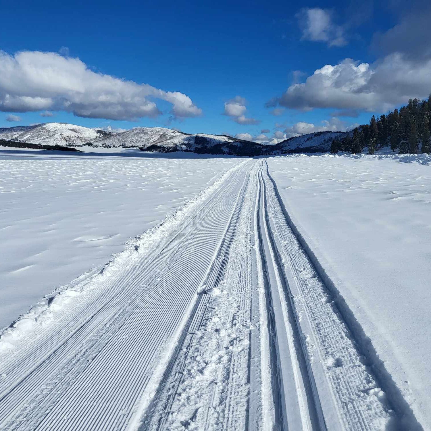
Just a couple hours from Durango, Valles Caldera is a great cross-country skiing destination, with surprisingly good snow and very few visitors.
Valles Caldera National Preserve is a popular hiking destination in the summer and a surprisingly great skiing destination in the winter.